I was working in Port Angeles all week, never had (or gave myself) a chance to even check out the surf; but, then, wait for it (I have), I went. Yeah, I joined the seeming caravan of time-offers and weekenders and vacationers headed toward the Olympic Peninsula, home to the Olympic Mountains, named, appropriately, after the mythical home of the mythical gods. It’s like… Nirvana, with a different lineup (do I have to add ‘not the bend? Probably). Yeah, and there’s, like forests and… lakes, and… It is enticing, entrancing, inviting those stuck on I-5 to drive however many hours to get here. And the weather has just been so… Southern California-ISH. Not that I’m complaining.
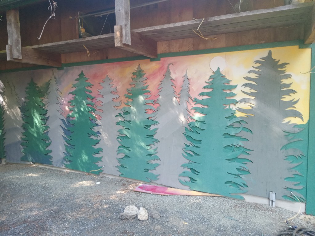
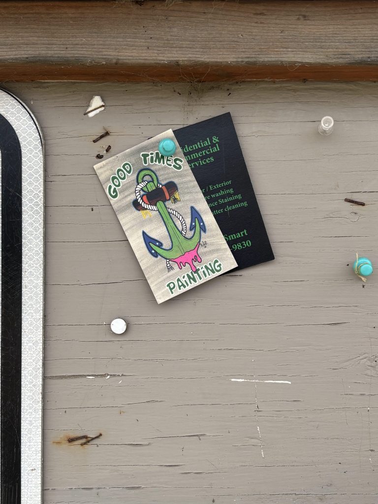
This was a side project. I was painting an ADU on the Port Angeles property. Someone else cut out the trees a while back. The homeowner, who has a lot off artsy stuff going on, gave me free reign. Thanks.
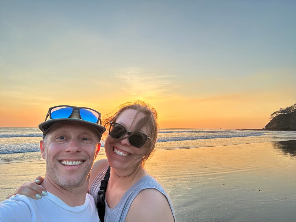
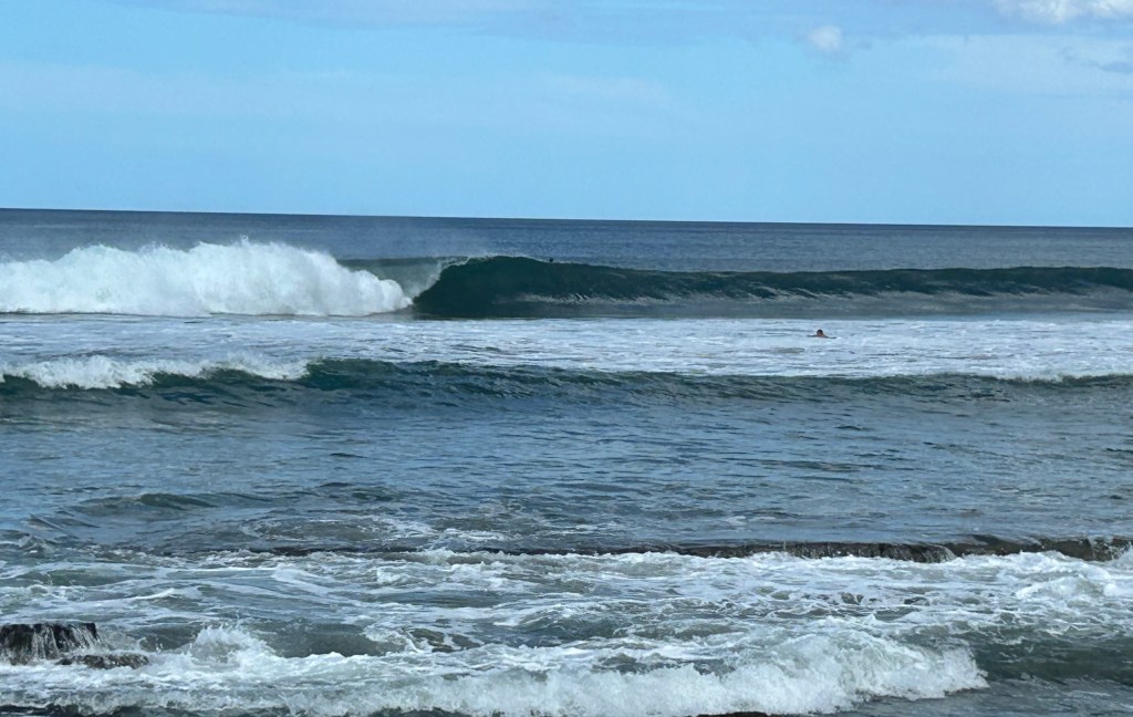
The job done, I traded ladders for a thrashed out board, and headed back north. It’s not that I want to share the road OR the waves. Dawn patrolling might help. Still, I worry. I am still trying to get past a severe thrashing from mid-winter, and have had few opportunities to rebuild my. confidence. What if, I was thinking on the way up Surf Route 101, it’s closed out and crowded and… ?And then, when I arrived… no worries; no ‘got to go NOW’ conditions. Barely breaking. It was a ‘it might get better’ situation, so, normal. Not crowded… yet. No side wind. Yet. I took my time, chatted with PA locals, Bill Truckenmueller (sp?) and his son, who talked about how the day before was better, and never got out of their van, and told me they were leaving as a sacrifice to the swell gods. “Thanks. I’ll let you know what you missed next time I see you.”
Parked in my favorite spot was THOR. I’ve surfed with him quite a few over the years. He said the previous day started similarly weak and inconsistent, and got better. The last time I saw Thor was at the Lower Elwha gas station. He had just suffered a serious injury. He’s fully recovered now. I filled him in on what is happening with me. I did, because I do, mention this blog. “You. mean your personal complaint department?” ‘Huh? What? Um, yeah.”
Still taking my sweet time getting suited up, a rig pulled up next to me, two young (relatively) men jumped out, instantly started putting fins on their fancy wood boards. Just making conversation, because ERWIN TALKS TO STRANGERS, I mentioned their parking gave themselves plenty of room, but they could have parked closer, allowing the next folks room. “No.” Okay. No disagreeing. I asked one of them how long he’d been surfing. “A while.” “Oh. Did you, like, start during Covid?” “Give me a break.” “Okay, so… adult learner. Surf school.” No answer. “It’s pretty flat. Hobuck’s probably big. Maybe you should go there.” The other guy came around the corner, turning his Patagonia wetsuit rightsideout while doing modified squats. “Why don’t you go, then?” “Too far. Too scary.” “Sure.” Possible sarcasm. “Um, where’d you, if I might ask, come from?” No answer. “I live in Quilcene. It’s down the canal.” “Okay. Sure.” Somewhere it was revealed they were from Kirkland. “Might be bigger there,” one of the Kirkland dudes said before he raced his friend toward the water.
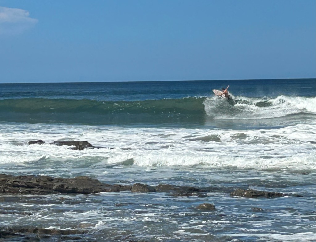
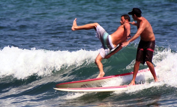
It’s fine that, when flipping friendly-ish shit, some gets flipped back. The test of surfing is in the water. By the time I got out, there were five or six other surfers out. Long boards. I took off on a wave, not believing (or looking) behind me. “Hey!” A guy on a green longboard, who wasn’t on the wave, yelled, “You have to look. That’s it! You get. one. drop-in!” He paddled out. I paddled out. He back paddled me. Evidently backpaddling was acceptable. Fine. Game on!
I don’t mean to overdramatize this; not high tension. Just, with not-great waves, kind of unnecessary.
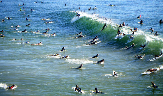
There were some other ‘your wave, my wave’ things happening over the course of the session, but I didn’t have any other disputes with the unofficial regulator. He did continue to backpaddle, I played my game, managed to get some rides I was really happy with. Meanwhile, the Kirkland guys did not dominate. The lineup had the usual small day ratio of beginners to experienced surfers, and I noticed several of the guys in the water looked… similar. We all want to identify who, in the water, is going to blow a takeofff, who is a bit too aggressive; all of which helps us catch more waves and stay out of trouble. Maybe. Plus, it’s not cool to stare at your. competition. Or talk too much.
None of these societal restraints kept me from paddling over and making a comment to the large (not that I’m small) woman with a bright red, full-brimmed hat on. It seemed, not staring, that it was attached to a hood. Maybe it just had a very practical chin strap. “You’re doing your best to avoid cancer,” I said. “I’m trying.” She took off on a wave, went straight, and two other women, with similar hats, about to paddle out, hooted, wildly, as if their friend had won the contest. Perhaps she had. We are all competing in our minds. Aren’t we?
I managed to outlast the green board enforcer, but he did paddle out next to Thor, and, possibly because Thor was, my assessment, the best surfer out at this time, engaged him in conversation. I mentioned that when the waves dropped back to minimal as the tide drained out. “Yeah, I told him you’re old, you have really bad knees, your wife is battling cancer, and you should give you a break.” “Thanks, Thor, but… about those two times you burned me…” “Oh, one was for the guy you burned, and the other… It was my one free burn.” Fair. Enough.
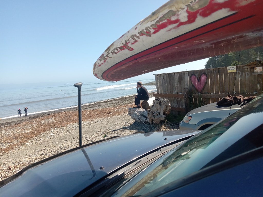
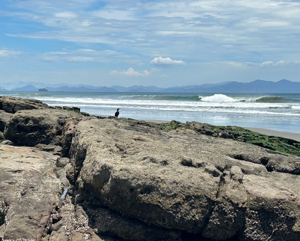
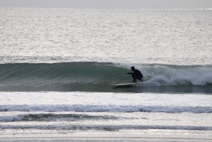
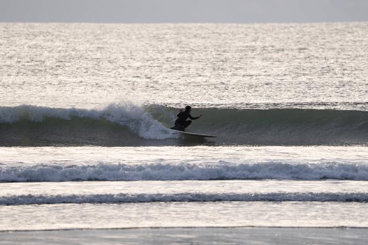
I had to take this photo. The guy sat there a while, looking like Rodin’s “The Thinker.” I asked if he was thinbking, “Damn, should have gotten here earlier.” “No, I was thinking… maybe it’ll get better.” Eventually. Yes.
Contact- erwin@realsurfers.net
Instagram- realsurfersdotnet
Thanks; catch some waves when you can, limit your dropins, backpaddle at will, keep it friendly, keep it fun. But, FUCK CANCER!
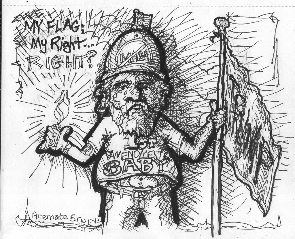
Oh, shit! I forgot. I do have some new ORIGINAL ERWIN illustrations. I will post them soon.